Registration maps for (most of) the properties registered in 1968 as having common rights can be viewed using the menu list on the left below. Properties are listed by entry number in the register for their common land unit: CL13 (Greenham) first, followed by CL60 (Crookham). Postcodes were not used in the original registration process, and most registrations were made by house name rather than number. Modern-day postcodes and some numbers been added to the menu list as a location aid.
These images are scans, of photocopies, of black-and-white photocopies, of the originals, which would have been black-and-white base maps with a coloured border hand-drawn around around the property. These now show as a thick black outline.
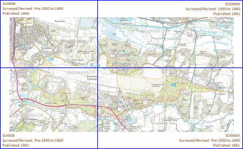
With one exception, the base maps were, or were very similar to, the Ordnance Survey six-inch-to-the-mile series. Four sheets cover the commons, as shown below. To view a much clearer copy of the base map (without the registered property outlines) at the National Library of Scotland, click one of the four blue rectangles on the key map below.